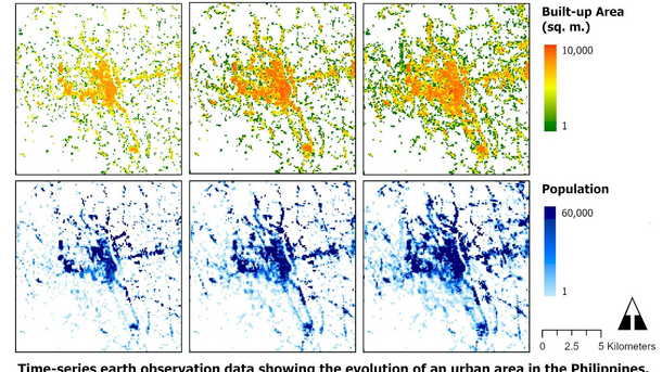
The Institute of Photogrammetry and GeoInformation (IPI) is a leading university research institution in the field of photogrammetry, remote sensing and computer vision. Our main strengths are the development and implementation of new methods for the extraction of geometric and semantic 3D information from aerial and satellite imagery as well as from drone images. In addition, we are active in the processing of terrestrial images and image sequences, e.g. in the fields of 3D reconstruction, mobility and optical 3D metrology. A major methodological focus is on machine learning methods. We participate intensively in national and international research projects, often in interdisciplinary teams. In addition, we offer our services to public and private institutions in the fields of photogrammetry, remote sensing, geoinformation, computer vision and industrial metrology.
In teaching, we primarily participate in the BSc. and MSc. courses in geodesy and geoinformatics, but also in many other bachelor's and master's degree programmes at LUH.


